Global Aviation Weather
Part of the
uvGO® Mission Management Platform
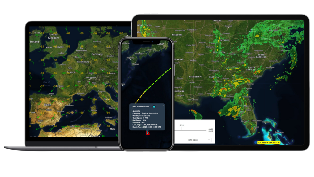
Monitor global aviation weather with real-time radar and satellite imagery, TAFs, and METARs. Visualize weather patterns using route-on-weather overlays. Stay ahead of changing conditions with seven-day forecasts.
Weather is included for all users of our uvGO Mission Management Platform and available for any Universal client.
WHAT FLIGHT DEPARTMENTS ARE SAYING
“uvGO is best international mission planning application that I’ve seen, and I use both the iPad and iPhone versions a lot. The flight planning capabilities are great, the feasibility intelligence is really helpful on international trips, and being able to access all my trip information from my Universal Trip Support Team is super convenient.”
— Part 91 International Captain
REAL-TIME WEATHER INTELLIGENCE
Advanced Weather Intelligence
Access comprehensive real-time weather data, including precipitation levels, wind patterns, turbulence intensity, storm activity, and much more.
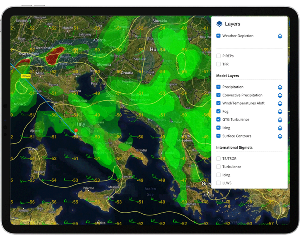
Tons of Weather Layer Options
Choose from a long menu of weather and flight planning layer options for U.S. and international.
7-day Weather Forecasts
Stay on top of the weather with a comprehensive 7-day forecast for thousands of airports across the globe.
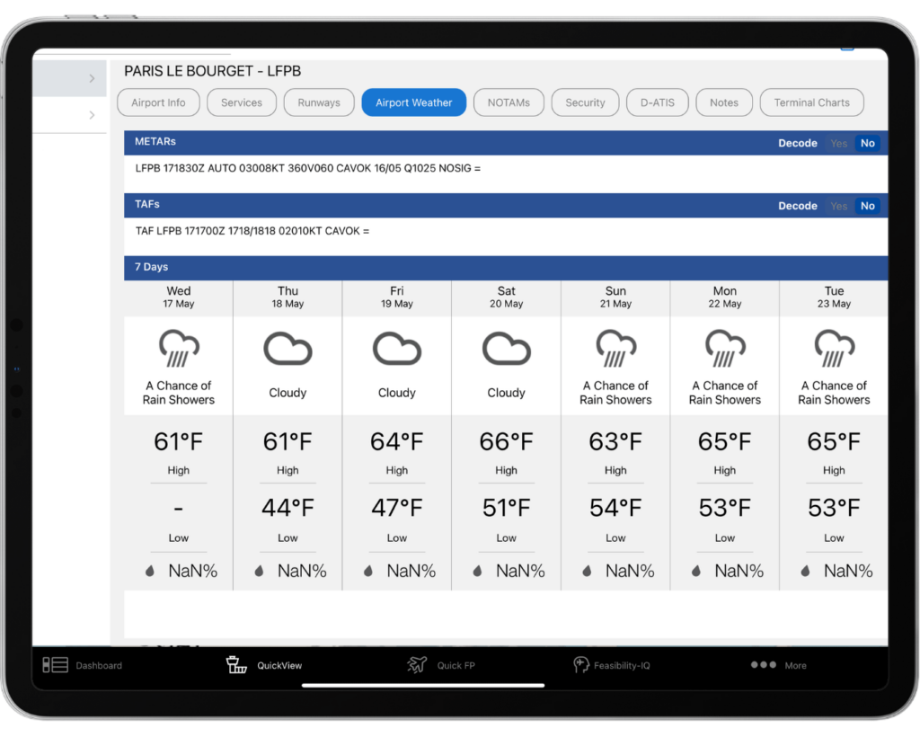

Airport Weather Reports
Quickly access real-time METARs and TAFs for ICAOs worldwide.
LAYERS UPON LAYERS
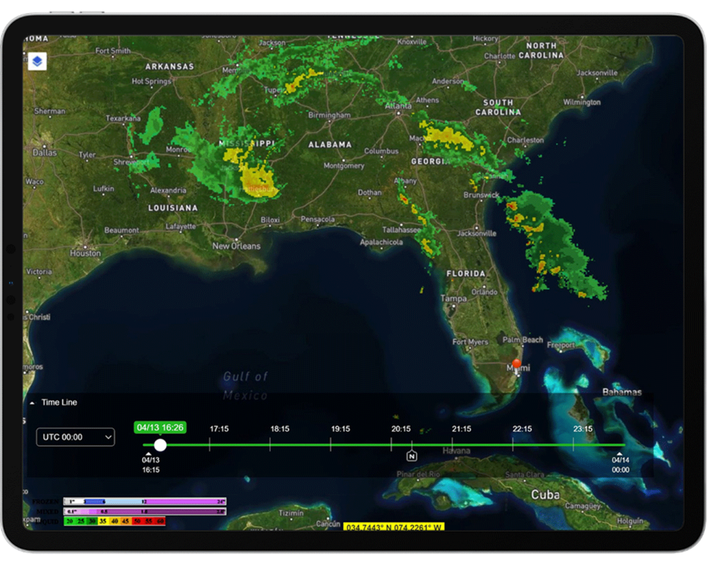
Dynamic Radar
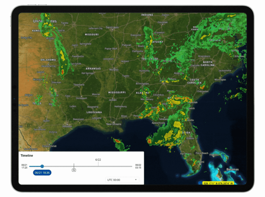
Add radar and satellite layers using an interactive time slider tool that provides more control when viewing and animating weather timestamps.
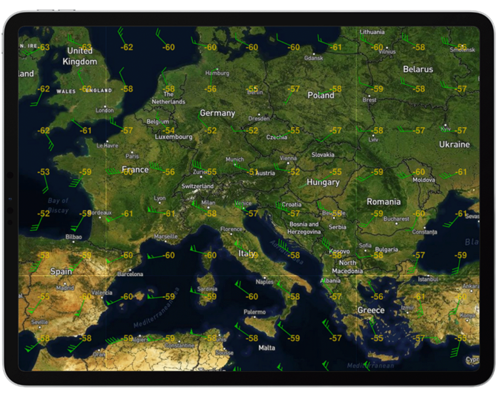
Winds & Temperatures Aloft
View forecasted wind and temperatures at different flight altitudes.
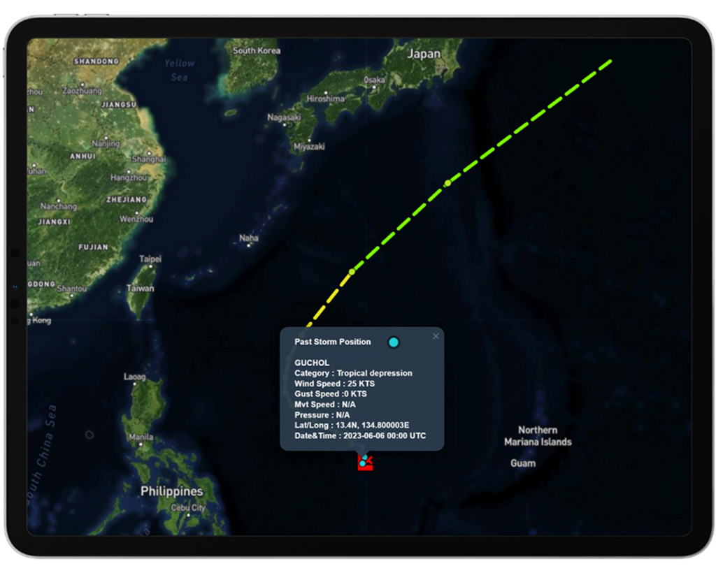
Tropical Storms
Track tropical storms with up-to-date information for hurricanes, tropical storms, and disturbances in the Atlantic, Central Pacific, and Eastern Pacific basins.
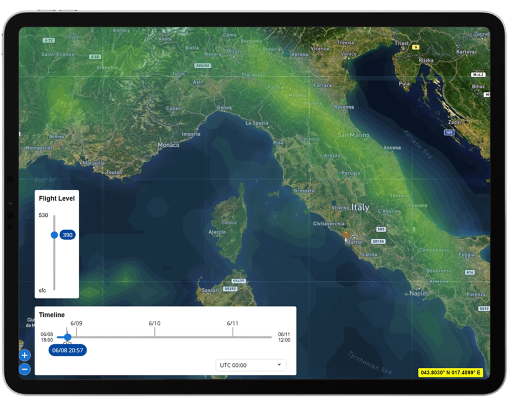
Turbulence
View global aviation turbulence forecasting using Graphical Turbulence Guidance (GTG).
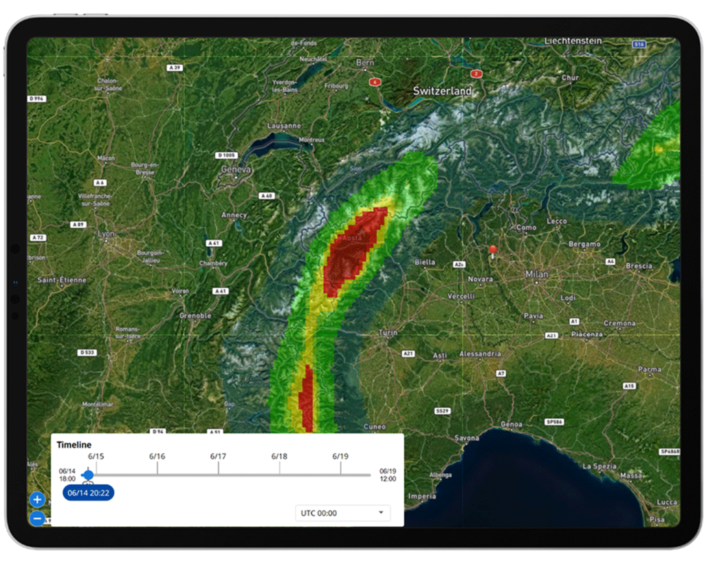
Fog
Operate safety in low-visibility, foggy conditions by applying fog layers to your flight plan, ensuring improved decision-making and safety measures.
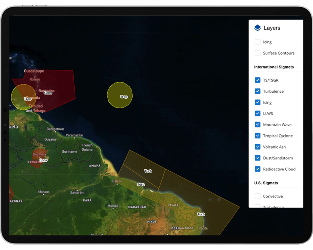
Sigmets & Airmets
Visualize Sigmet and Airmet weather data layers, including turbulence, icing, LLWS, dust, mountain wave, volcanic ash, and more.
Flight Planning
Flight planning layers, such as airports, waypoints, airspace restrictions, airway routes, and more, can be added on top of weather layers to provide a comprehensive view for flight planning, navigation, and situational awareness. Learn more about Flight Planning.

WHAT FLIGHT DEPARTMENTS ARE SAYING
“All of our international pilots are using this system, and they love it. It’s fast, it’s easy, and it does a really good job at calculating ETEs and fuel burn estimates on our flights. Our schedulers also like that it integrates with our scheduling system.”
— Part 91 VP of Aviation

