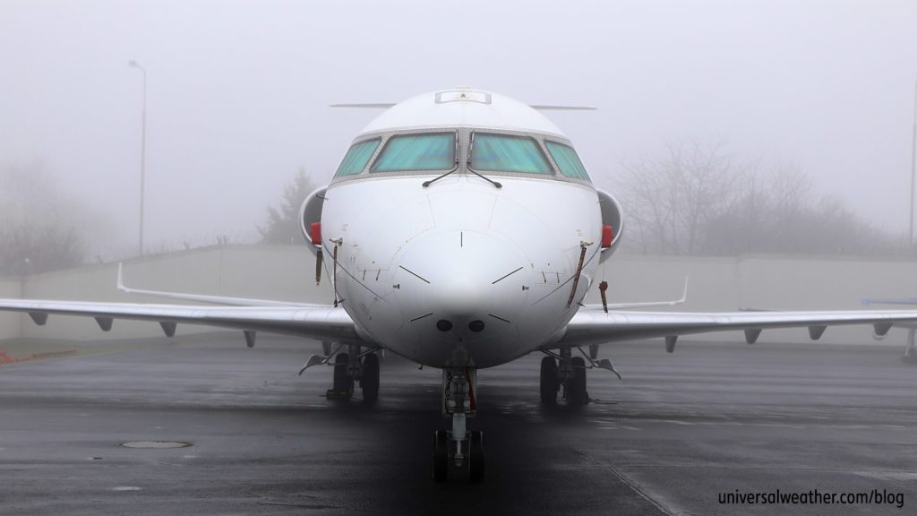
Business Aviation Weather: Fog

Fog can significantly impact flight operations in many parts of the world. Understanding the different fog types and how they form is essential to effective planning and mitigation. Below is a comprehensive guide to fog’s effect on aviation, updated for 2025.
Understanding Fog Formation

airport runway background.
Fog forms when the atmosphere becomes saturated or nearly saturated with moisture. This happens when temperature and dew point converge—either by raising the dew point or lowering the temperature.
Fog vs. Mist
Fog is a low-lying cloud that reduces visibility and interferes with aviation operations. Mist, though similar, occurs when visibility remains above 5/8 mile and is identified as “BR” in METAR and TAF reports.
Types of Fog and Their Aviation Impact
- Radiation Fog: Develops at night over land due to ground cooling. It’s most dense at sunrise and generally dissipates by late morning. Can redevelop after sunset.
- Advection Fog: Transported by wind, usually from a moist area to a cooler surface. Common along coastlines and more persistent than radiation fog.
- Upslope Fog: Forms as moist air is pushed upslope, cooling adiabatically.
- Frontal Fog: Precipitation-induced, typically with warm or stationary fronts.
- Freezing Fog: Composed of super-cooled water droplets that deposit ice on aircraft surfaces.
- Ice Fog: Forms below -30°C and consists of ice crystals, often in polar regions.
Visibility and Operational Impacts
Fog is the most frequent visibility limiter in aviation. It can rapidly reduce surface visibility to less than 5/8 mile, forcing a transition from VFR to IFR conditions within minutes—especially with advection fog. Dense fog can reduce arrival/departure flow rates or close airfields entirely.
Geographic and Seasonal Trends
- Europe: Common radiation fog and stratus during winter.
- Coastlines: Advection fog is prevalent along U.S. Gulf and East Coasts, Canadian Maritimes, Japan, southern Alaska, and Northeast Russia.
- West Coast U.S.: Marine layer fog and stratus are typical.
- Rocky Mountains: Upslope fog is a frequent issue.
When Fog Is Most Likely
- Radiation fog: More prevalent during long winter nights.
- Advection fog: Common during springtime temperature shifts.
- Fog types can overlap—radiation fog can evolve into advection fog, and vice versa.
Predicting and Forecasting Fog
Fog density and dissipation are influenced by geography and can be difficult to predict. While synoptic weather patterns offer general guidance, specific visibility changes remain challenging to forecast.
Planning and Pre-Flight Considerations
If fog is anticipated at your destination:
- Expect the need for airport alternates or ETPs.
- Carry additional fuel.
- Consider early departure scheduling.
- Stay in close contact with your 3rd-party provider.
Visibility as a Key Risk Factor in Flight Operations
Fog and low ceilings remain a leading cause of weather-related aviation accidents. According to a recent NTSB report covering 2008–2022, low ceilings and visibility accounted for a significant share of fatal incidents:
- In Part 135 operations, low ceilings/visibility were present in roughly 29% of weather-related accidents, making it the most frequent hazard in that category.
- For Part 91 general aviation, 58% of weather-related accidents involved low visibility or ceiling conditions—again, the largest category of weather risk.
By contrast, wind-related events were the second most common, and turbulence, precipitation, or icing accounted for smaller proportions.
This updated data confirms visibility remains the single most persistent threat in charter and general aviation—making fog-aware planning more critical than ever.
Fog-Related Diversions
Diversions may occur during approach. Always ensure alternate airports are within range. Fog depth can change rapidly, and persistence may require changes to flight schedules.
Interpreting Fog in Weather Reports and Charts
- TAFs and METARs: Key sources for fog forecasts.
- Runway Visual Range (RVR): Check this in METARs for real-time runway visibility.
- Charts: Use weather depiction and surface prognostic charts for IFR areas. AIRMETs and area forecasts can provide broader context.
Using Satellite Imagery to Detect Fog
- Nighttime: Use 3.9/10.7 µm difference imagery to detect fog/stratus.
- Daytime: Visual satellite imagery is ideal for identifying fog and low clouds.
- Infrared (IR): Useful when surface observations are unavailable but should be validated with ground-based data.
Helpful Resources
- NOAA Aviation Weather Center – Fog imagery, METARs, and TAFs
- Your 3rd-party service provider – Tailored fog forecasts and alternates planning
Final Considerations
Fog is a common but often underestimated factor in flight planning. When operating to fog-prone regions, obtain weather briefs in advance and maintain flexibility in your flight planning. A thorough understanding of local weather, geography, and seasonal tendencies will help reduce delays, enhance safety, and minimize extra costs.
If you’re unsure how fog may impact your next trip, consult your Universal Trip Support Team for updated forecasts and contingency planning.


